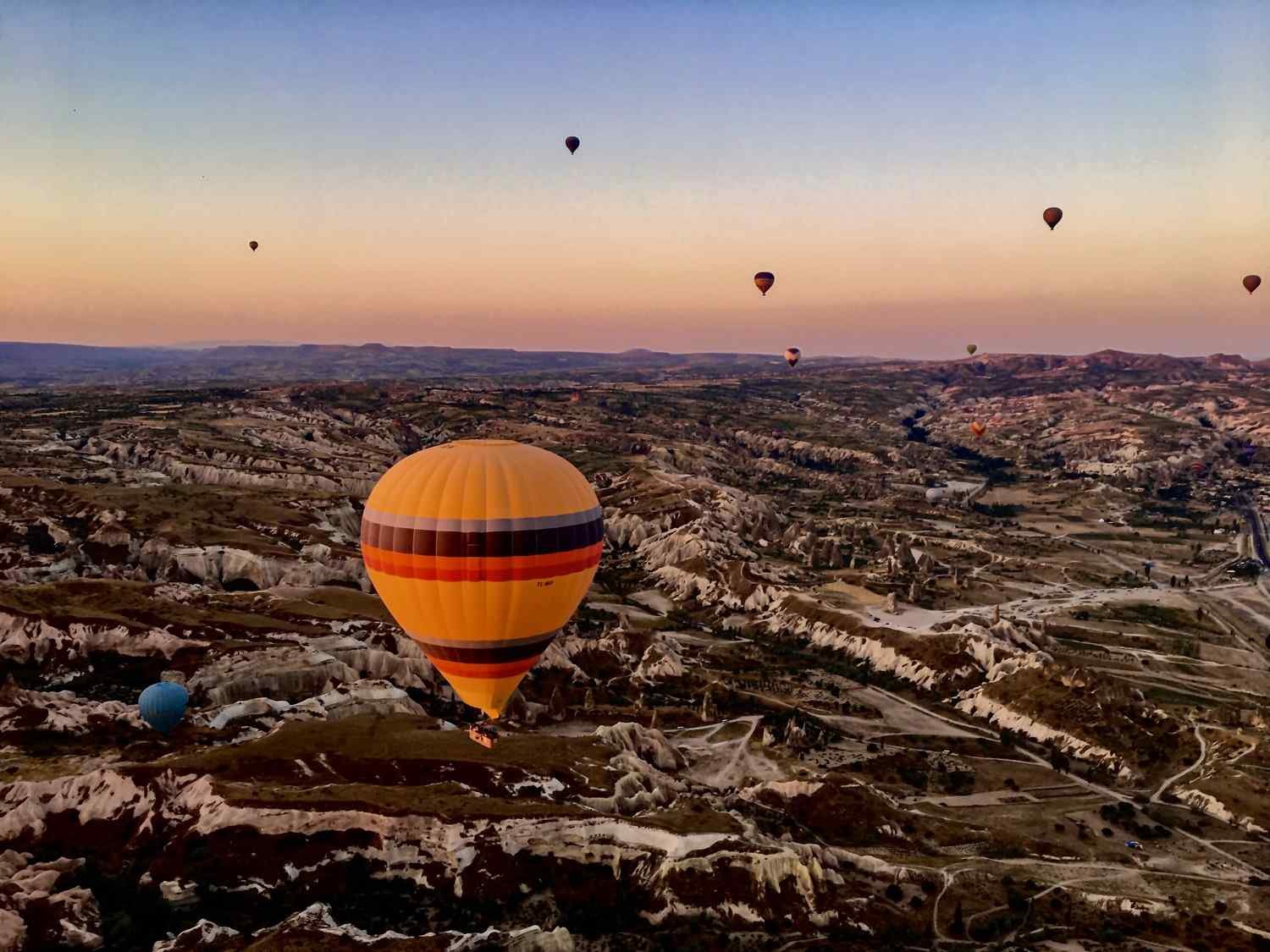
Urgup is located in the heart of Cappadocia, a region known for its unique landscape of fairy chimneys, rock formations, and underground cities. If you’re planning a trip to Cappadocia, it’s helpful to know how far Urgup is from other popular destinations in the region. Here are some distances and travel times:
Goreme – Goreme is located approximately 10 kilometers northeast of Urgup, and it takes about 15 minutes to drive between the two towns. Goreme is known for its stunning rock formations, hiking trails, and the Goreme Open Air Museum.
Uchisar – Uchisar is located approximately 7 kilometers south of Urgup, and it takes about 10 minutes to drive between the two towns. Uchisar is home to Uchisar Castle, the highest point in Cappadocia, which offers panoramic views of the region.
Avanos – Avanos is located approximately 10 kilometers northwest of Urgup, and it takes about 15 minutes to drive between the two towns. Avanos is known for its pottery-making tradition, and visitors can watch local artisans at work and even take pottery-making classes.
Kaymakli Underground City – Kaymakli is located approximately 20 kilometers south of Urgup, and it takes about 30 minutes to drive between the two towns. Kaymakli is one of several underground cities in Cappadocia and offers a fascinating glimpse into the region’s history and culture.
Ihlara Valley – Ihlara Valley is located approximately 60 kilometers south of Urgup, and it takes about 1 hour and 15 minutes to drive between the two locations. Ihlara Valley is a popular hiking destination and is known for its stunning natural beauty and historic churches carved into the rock.
I hope this information is helpful in planning your visit to Cappadocia!


